Physical Geography
Terrain
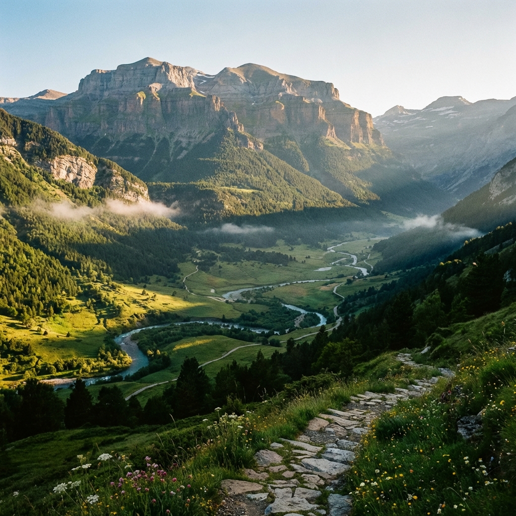
Spain is one of the most mountainous countries in Europe, with an average altitude of 660 meters. The terrain is organized around the Central Plateau, a large elevated plain split by the Central System.
Around the plateau lie the Cantabrian Mountains (north), the Iberian System (east) and Sierra Morena (south). On the outer edges rise the Pyrenees (the border with France) and the Baetic System.
The country's highest peak is Teide (3,718 m), a volcano on the island of Tenerife (Canary Islands). On the peninsula, the highest summit is Mulhacen (3,478 m) in the Sierra Nevada.
Hydrography
The rivers divide into three slopes:
- Atlantic slope: These are the longest and largest rivers. The Tagus (the longest), the Ebro (the one with the greatest flow), the Douro, the Guadiana and the Guadalquivir stand out.
- Mediterranean slope: Shorter and more irregular rivers (except the Ebro), prone to summer lows and floods. The Jucar and the Segura stand out.
- Cantabrian slope: Short, torrential rivers with a large flow because of constant rainfall.
Climate and Diversity
Spain has great climatic diversity, which makes it the country with the greatest biodiversity in Europe (a biodiversity "hotspot").
| Oceanic Climate | North and Northwest. Abundant rain, mild temperatures and green landscapes. |
|---|---|
| Mediterranean Climate | East, South and the Balearic Islands. Hot, dry summers and mild winters. |
| Continental Climate | Interior (Central Plateau). Cold winters and very hot summers. Little rain. |
| Subtropical Climate | Canary Islands. Warm temperatures all year (22°C average). |